
SDE-260D Dual Frequency Echosounder
SOUTH SDE-260D is a brand-new lightweight, portable, rugged, high-performance dual-frequency echosounder which adopts industrial control integrated design and built-in water measurement and navigation software. It is a water measurement system integrating functions of water depth measurement, software graphic navigation, positioning, water depth data collection and so on, and it has been tested, improved and perfected in many aspects and in different waters and sea areas, which is highly praised for its advanced technology, stable performance, simple operation, convenient portability and reasonable price.
Embedded WindowsXP operating system, user-friendly interface
Integrated with both computer and echo sounder at industrial level, yet low power consumption
Full aluminum housing, compact and handy, particularly designed for less-than-ideal circumstances
High-speed DSP chip processing technology to ensure reliable waveforms and depth values
Supports NMEA-0183 communication to gain orientation information
High compatibility, flexible to connect different GPS devices
Built-in flash memory upgradeable to larger capacity for diverse demands
12.1-inch color LCD featuring a wide viewing angle and adjustable brightness
Automatic storage of depth data up to 24 hours, supports replay
Software:
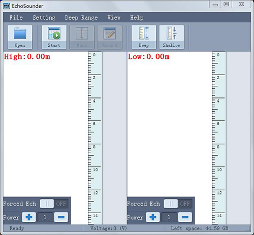
- EchoSounder software is main use for configure the transducer sounding parameters, collect the echo wave raw data, transmit the data depth data to the Hysurvey software. Below is the main interface of the EchoSounder software:

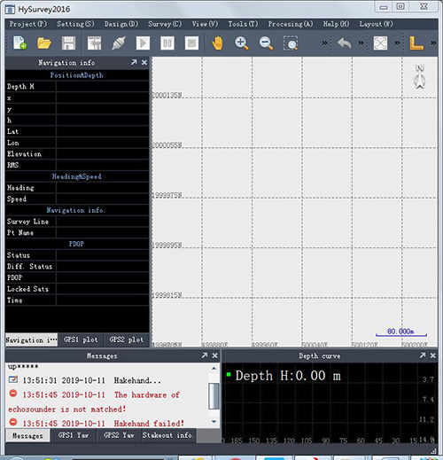
- HYSurvey software is mainly used for setting up project parameters, survey navigation, collecting the depth and position data, echo data process and result data output. Below is the main interface and the function introduce of the HYSurvey:

Coastland, fairway depth measurements
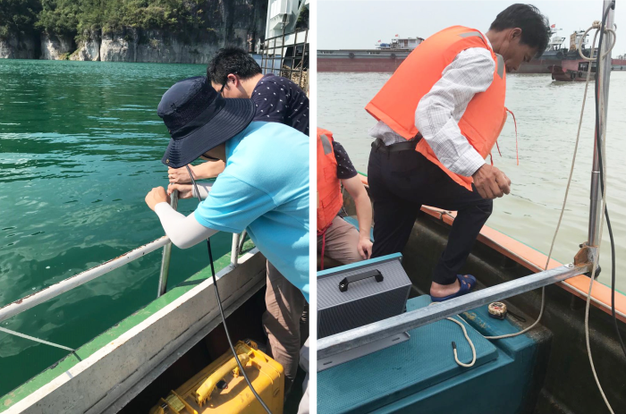
Freshwater, lake, reservoir depth measurements
Dredging engineering measurements
Integrated automated depth measurement (navigation measurement software required)
Positioning navigation terminal (compatible to all GPS models with NMEA-0183 data exported) for dredging engineering projects

