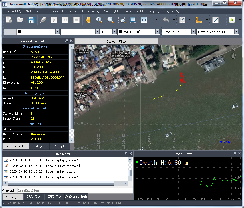

HYSurvey
HYSurvey is a new generation of marine data acquisition and post-processing software in SouthGNSS. This software has a Chinese and English interface, which is easy to operate, and the operation process is completely in line with the user's actual work process. It can also be connected with all GPS positioning equipment and sounding equipment, fully absorbing the advantages of similar software.
New core, fast speed and good stability;
Engineering drawing and data management, wizard-type parameter setting;
Strong compatibility, which can import water depth graphics and data, and connected with all GPS positioning equipment and depth sounder;
Modular design to meet various engineering needs;
Intuitive graphical navigation window, automatic voice prompt when yaw;
Rich intelligent planning line model, which can quickly carry out routing of channels, areas, arcs, etc .;
The output format of the edited results can be customized to facilitate various mapping software.


Ocean depth survey
River channel survey
Engineering exploration positioning
Pile driving
Rock throwing
Reef explosion
Geophysical drilling
Seismic lofting