Reservoir Dam Monitoring
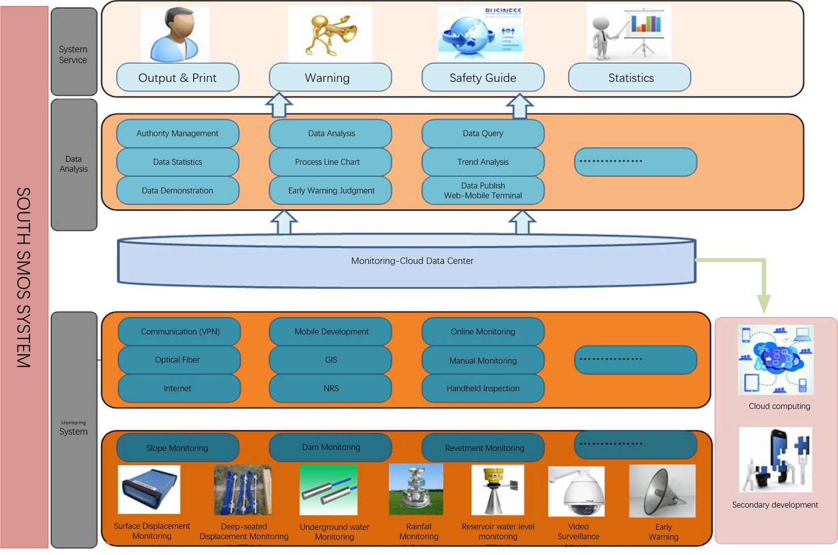
Reservoir Dam Monitoring plays an important role in checking the design, improving construction and evaluating the safety status of the dam, and focusing on evaluating the safety of the dam. The shallow meaning of dam safety monitoring is for people to accurately grasp the behavior of the dam; the deeper significance is to make better use of engineering benefits and save engineering investment. A good reservoir dam monitoring system is not only for the safety assessment of the monitored dam, but also for the safety assessment of other dams, including dams to be built.

Avoid errors caused by manual readings and records.
Data can be collected remotely and under severe weather conditions.
7 * 24 hours continuous monitoring is possible.
Continuous monitoring can quickly detect critical changes, and can take measures before the situation worsens.
The automatic monitoring system can monitor the limit threshold and rate of change according to the program steps, so that it can automatically alarm when it exceeds a predetermined limit.
1. Dam Safety Monitoring System of Zhanghewan Pumped Storage Power Station
Zhanghewan Pumped Storage Power Station is located on the main stream of Gantao River near the town of Caiyu, Jingxing County, Shijiazhuang City, Hebei Province.
The crest elevation of the upper reservoir is 812m, the crest axis length is 2846.088m, the crest width is 8.0~10.0m, the upstream dam slope is 1:1.75, the downstream dam slope is 1:1.5, and the maximum dam height (at the dam axis) is 57m.


The GNSS system for monitoring the surface deformation of the upper reservoir project has set up 2 reference points and 1 calibration reference point on the fresh bedrock with good geological conditions and thin overburden around the reservoir area. 59 intermittent monitoring points have been set up on the downstream slope surface of the upper reservoir dam body, the wave-proof wall, the bank slope of the reservoir and the rock slope surface near the dam site, including 13 on the crest of the wave-proof wall (ST), 5 on the downstream side of the crest of the dam (GNSS), 19(LD) on the downstream dam slope surface, 4(TD) on the crest of the dam surface and 18(LR) on the bedrock surface around the reservoir.